Leveraging Geographic Information Systems (GIS) in Land Planning
6 June 2025
Ah, land planning. The intricate art of deciding where we put the next overpriced coffee shop, luxury condo, or—if we're feeling wild—a park. But in today’s world, we don’t just grab a paper map and a red marker like it’s 1995. Nope, we have something way cooler: Geographic Information Systems (GIS).
GIS is the unsung hero of land planning, helping urban planners, developers, and policymakers make smarter, data-driven decisions. And let’s be honest—it’s about time. Because if we left it up to pure luck, our cities would look like a toddler’s LEGO creation.
So, let’s dive into how this nifty technology is shaping the future of land planning, shall we?

What is GIS, and Why Should You Care?
GIS stands for Geographic Information Systems. Fancy name, but at its core, it’s just a system that captures, stores, manipulates, analyzes, and presents spatial data. In normal-people terms? It’s a supercharged GPS on steroids that doesn’t just tell you where you are but also what’s there, how it’s used, and what might happen in the future.Still not sold? Imagine trying to plan a new residential community. You wouldn’t just slap some houses down randomly, right? (At least, we hope not.) You’d want to know where the flood zones are, where the best views are, and whether or not you’re about to build on top of a fault line. That’s where GIS comes in—it turns guesswork into smart planning.
The Magic of GIS in Land Planning
Now that we know what GIS is, let’s talk about how it works its magic in land planning. Spoiler alert: It’s pretty impressive.1. Mapping Like a Boss
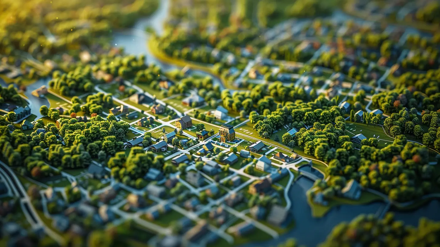
Remember the days of paper maps? Yeah, no one misses them. GIS takes mapping to the next level by providing detailed, layered maps filled with useful information—everything from topography to land ownership to zoning regulations.Think of it like a fully loaded pizza. Each layer adds something valuable—cheese (topography), pepperoni (land use), olives (demographics). Together, they create a masterpiece that planners can analyze to make informed decisions.
2. Predicting the Future (Kind Of)
GIS isn’t just about looking at the present; it’s also about predicting the future. With spatial analysis, planners can model different scenarios and see how land-use changes might impact things like traffic congestion, environmental sustainability, and population growth.Wouldn’t it be nice if we could do that with our own lives? Just run a simulation to see what happens if we quit our jobs and move to a deserted island? Sadly, that tech doesn’t exist yet, but for urban planners, GIS is pretty darn close.
3. Avoiding Disasters (Literally)
Ever wonder why some houses seem to get flooded every year despite warnings? Probably because someone ignored GIS data.GIS helps planners identify hazard-prone areas—flood zones, earthquake-prone regions, wildfire hotspots—before they become a problem. So ideally, we stop building homes in places where Mother Nature regularly throws tantrums.
4. Optimizing Infrastructure Development
Ever been stuck in traffic and thought, “Who planned this road? A toddler?” With GIS, planners can analyze traffic patterns, population density, and future development to ensure infrastructure actually makes sense.Instead of randomly slapping down roads and hoping for the best, GIS allows planners to determine the most efficient routes, reducing congestion and making commutes slightly less soul-crushing.
5. Making Cities More Eco-Friendly
Sustainability is the name of the game these days, and GIS is a powerful tool for green planning.By analyzing environmental data, planners can make smarter choices about land use—like preserving wetlands, optimizing green spaces, and ensuring our cities don’t turn into concrete wastelands. Want a city with more parks and fewer parking lots? GIS can make that happen.

GIS in Action: Real-Life Genius Moves
Let’s take a look at some real-world ways GIS has been used in land planning. Spoiler: It’s pretty awesome.Smart City Planning in Singapore
Singapore is basically the straight-A student of urban planning, and GIS plays a huge role. Officials use GIS to model urban growth, optimize transportation systems, and ensure sustainable development. The result? A city that’s ridiculously efficient, clean, and somehow manages to avoid the gridlock chaos of other major metropolises.Disaster Preparedness in California
California is no stranger to natural disasters—wildfires, earthquakes, mudslides, you name it. But thanks to GIS, emergency planners can map out high-risk areas, plan evacuation routes, and develop response strategies before disaster strikes.Revitalization in Detroit
Detroit, once known for economic decline, has been using GIS to identify areas ripe for redevelopment. Officials analyze abandoned properties, infrastructure quality, and demographic trends to pinpoint the best areas for revitalization efforts. And let’s be real—if GIS can help bring back Detroit, it can do just about anything.
The Future of GIS in Land Planning
So, what’s next for GIS in the world of land planning? Well, if you think it’s already impressive, just wait.AI + GIS = Next-Level Smart Planning
Artificial intelligence (AI) is teaming up with GIS to make land planning even smarter. Imagine AI predicting urban expansion trends with pinpoint accuracy or automatically detecting environmental risks before they become crises. The future is looking seriously sci-fi.Real-Time Data for Dynamic Decision-Making
With the rise of IoT (Internet of Things) and real-time data collection, GIS isn’t just about static maps anymore. Planners can now use live traffic data, air quality sensors, and even social media trends to make on-the-fly decisions.Augmented Reality (AR) and 3D GIS
Forget boring 2D maps—GIS is stepping into the future with 3D modeling and augmented reality. Soon, planners might be able to strap on AR headsets and visualize urban projects before they even break ground. Talk about next-level city planning!Final Thoughts
GIS isn’t just some fancy tech jargon; it’s the backbone of smart land planning. Whether it’s avoiding disaster zones, optimizing infrastructure, or making cities more sustainable, GIS is the ultimate power tool for planners.So next time you drive through a well-designed city with smooth traffic flow, ample green spaces, and smart zoning, just remember—GIS made that possible. And when you find yourself stuck in a gridlocked mess with zero sidewalks and too many parking lots? Well, let’s just say someone probably ignored the GIS data.
all images in this post were generated using AI tools
Category:
Land DevelopmentAuthor:

Melanie Kirkland
Discussion
rate this article
3 comments
Hadley McCullough
Great insights! Using GIS in land planning really helps visualize and optimize spaces for our communities.
June 18, 2025 at 4:31 AM
Melanie Kirkland
Thank you! I'm glad you found the insights valuable. GIS truly enhances our ability to make informed decisions in land planning.
Will Patterson
GIS transforms land planning with data-driven insights.
June 16, 2025 at 11:01 AM
Melanie Kirkland
Absolutely! GIS provides valuable data and visualizations that enhance decision-making in land planning.
Graham McRae
Great insights on GIS applications in land planning! Leveraging technology to enhance decision-making processes is crucial for sustainable development. Looking forward to more discussions on innovative approaches in real estate.
June 10, 2025 at 4:02 AM
Melanie Kirkland
Thank you for your feedback! I appreciate your interest in GIS and its role in sustainable land planning. I look forward to further discussions on innovative real estate approaches!