The Future of Subdivision Design in 2027
7 October 2026
Subdivision design is entering a period of real change. Not the cosmetic kind that swaps one facade palette for another, but structural change in how land gets planned, approved, built, and lived in. By 2027, the subdivisions that sell fastest and hold value longest will be the ones designed around infrastructure reality, demographic shifts, and regulatory pressure that is already visible today.
This article is for developers, land planners, civil engineers, and investors who need to make decisions now that will be judged by the market in 2027 and beyond. The goal is not to predict the future with false precision. It is to identify the forces that are already reshaping subdivision design and explain how to respond to them intelligently.
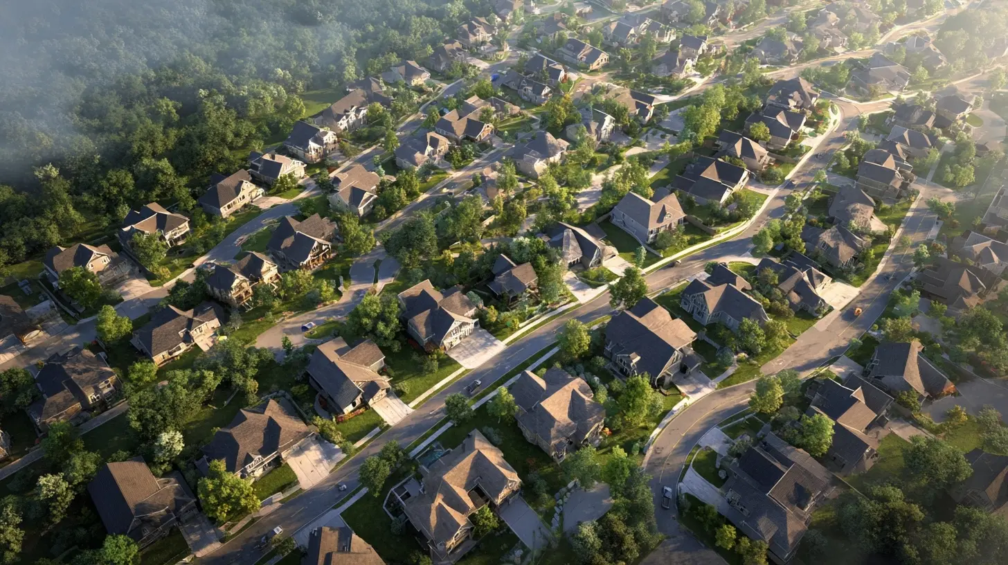
Why 2027 Is a Real Inflection Point
Most predictions about the future of housing are vague. "Homes will be smarter." "Communities will be more connected." That kind of talk is useless to anyone signing a land option today.What makes 2027 different is the convergence of several concrete pressures:
First, the cost of capital has reset. Cheap money masked inefficient site plans for over a decade. When borrowing costs are low, a developer can afford extra road width, oversized lots, and underused open space. When capital is expensive, every wasted acre and every unnecessary linear foot of pipe shows up directly in the pro forma. Subdivisions designed in 2027 will be judged on land efficiency in a way they were not in 2019.
Second, entitlement timelines have stretched in many jurisdictions. Approval processes that once took 18 months now routinely take three years or more in high-growth metros. This pushes developers toward designs that are more likely to clear public hearings on the first or second attempt, which changes what gets drawn.
Third, buyer expectations have shifted in ways that are now measurable. Remote and hybrid work changed what people want from a home and a neighborhood. Demand for a dedicated workspace, reliable connectivity, and walkable amenities has moved from niche to mainstream.
Fourth, climate and insurance realities are reshaping where and how you can build. In some regions, wildfire risk, floodplain designation, and stormwater rules now drive the site plan more than the market does.
These four forces together explain why 2027 is not just another year. It is the year many of these trends become unavoidable in underwriting and design.
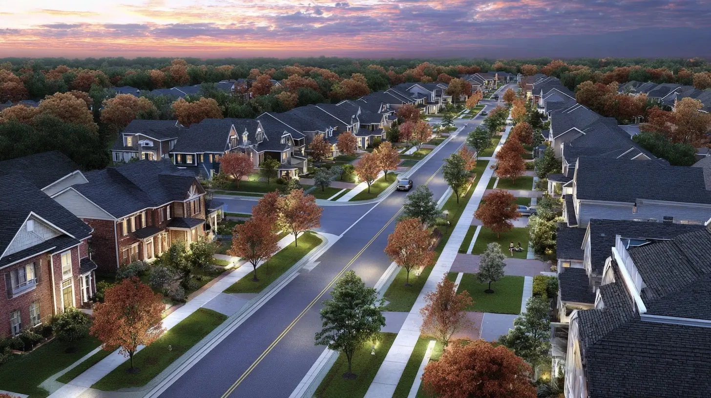
Land Efficiency Becomes the Primary Design Metric
For decades, subdivision design optimized for lot count and curb appeal. In 2027, the winning metric will be developable yield per acre of disturbance.Here is why this matters. The cost of horizontal infrastructure, roads, water, sewer, storm drainage, and grading, has risen faster than lot values in many markets. A layout that produces 120 lots but requires 40 percent more pipe and pavement than a 110-lot alternative can actually be less profitable. Developers who understand this are already running yield analyses that weigh net revenue against infrastructure cost per lot, not just gross lot count.
What Efficient Design Looks Like in Practice
Efficient subdivision design in 2027 tends to share several traits:- Narrower streets where fire access and parking demand allow, often 20 to 24 feet of pavement instead of 28 to 32
- Shorter cul-de-sacs or their replacement with looped and grid-connected networks that reduce dead-end infrastructure
- Cluster development that preserves steep slopes, wetlands, and floodplain instead of grading them
- Shared driveways and rear-loaded garage courts in higher-density pockets
- Stormwater treated in distributed landscaped features rather than one large detention basin at the low point
Each of these choices reduces cost, but each also carries trade-offs. Narrow streets can complicate trash pickup and emergency access. Rear-loaded garages reduce curb appeal for some buyers. Distributed stormwater requires long-term maintenance agreements that some HOAs handle poorly. The right answer depends on your market, your jurisdiction, and your exit strategy.
The Common Mistake: Chasing Density Without Context
The most frequent error I see is a developer pushing for maximum density in a market that will not pay for it. Density works when the location supports it: near employment, transit, or established amenities. Drop a dense cluster in a location with no walkability and no services, and you get slow absorption and price resistance. Land efficiency is not the same as density. It is the ratio of value produced to cost consumed.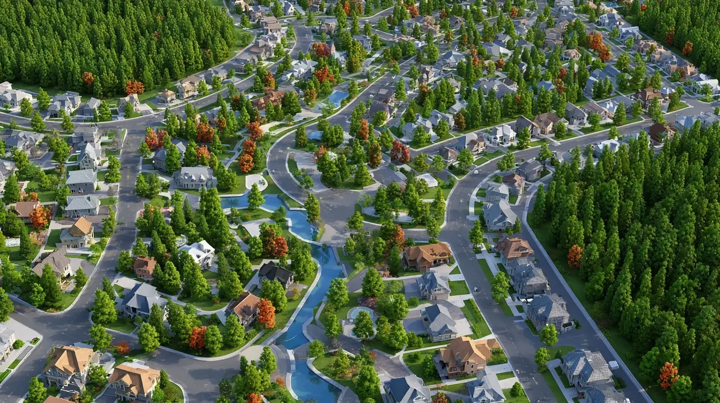
The Grid Returns, But Smarter
The cul-de-sac suburb is not dead, but it is losing ground. By 2027, more subdivisions will use connected street networks, not because planners prefer them aesthetically, but because they solve real problems.Connected grids distribute traffic instead of funneling it. They reduce the length of utility runs per lot. They make it easier to route transit, deliveries, and emergency vehicles. And they allow a subdivision to be built in phases without stranding infrastructure at the end of a dead-end road.
The catch is that connected grids can feel less private and can increase through-traffic if the network connects to adjacent development. The solution most experienced designers use is a hybrid: a connected spine with smaller internal loops and short cul-de-sacs branching off it. This captures the infrastructure efficiency of a grid while preserving the quiet pockets buyers still want.
When to Avoid a Full Grid
A full grid is the wrong choice when:- The site has severe topography that makes cross-connections expensive
- Adjacent land uses are incompatible, such as industrial or high-traffic commercial
- The jurisdiction lacks a plan to extend the network, so your grid becomes an isolated fragment
- The market is dominated by buyers who explicitly want privacy and low traffic
In those cases, a modified network with limited connections is usually better. The key is to avoid designing a layout that cannot be extended later without demolition or expensive retrofits.
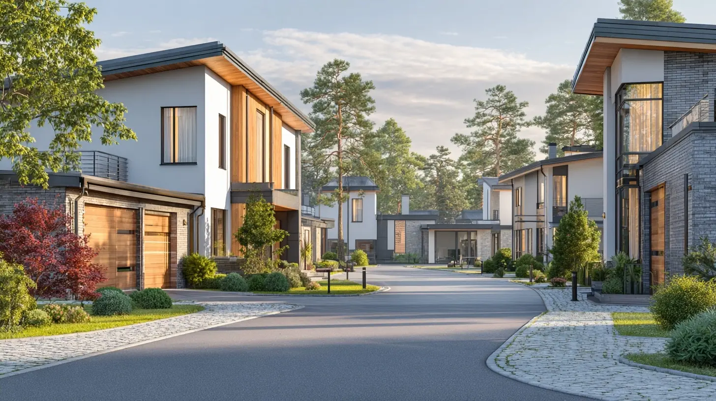
Water, Stormwater, and the New Regulatory Reality
Stormwater management is quietly becoming the most expensive and most regulated part of subdivision design. Many jurisdictions have moved beyond simple detention requirements toward performance standards that address volume, rate, and quality of runoff.By 2027, expect more of the following:
- On-site retention and infiltration requirements that reduce the size of traditional detention ponds
- Green infrastructure mandates, such as bioswales, rain gardens, and permeable pavement in certain zones
- Riparian buffer rules that remove land from development near streams and wetlands
- Post-construction maintenance obligations that run with the property
These rules change the economics of a site. A parcel that looked developable on a preliminary yield map can lose 15 to 25 percent of its usable area once buffers and stormwater features are properly accounted for. The developers who succeed are the ones who model this early, not after they have a contract and a feasibility deadline.
Practical Advice on Stormwater
Do not treat stormwater as an engineering afterthought. Treat it as a design driver from the first sketch. Ask three questions before you buy land:1. Where does water naturally want to go on this site, and can I work with that instead of against it?
2. What is the long-term maintenance plan for any green infrastructure, and who pays for it?
3. Does my civil engineer have experience with this jurisdiction's current standards, not the standards from five years ago?
Getting these wrong is one of the most common ways a subdivision project bleeds money after approval.
Housing Product Mix and the Missing Middle
The single-family detached lot is still the dominant product in most subdivisions, but it is no longer the only one that sells. By 2027, more subdivisions will include a deliberate mix of housing types: detached homes, townhomes, duplexes, and small multifamily buildings within the same community.This is not just a social policy goal. It is a market response. Household formation patterns have changed. More people live alone. More households have no children. More buyers are priced out of detached homes in desirable locations. A subdivision that offers only one product type is competing for a narrower slice of demand than one that offers several.
The Trade-Offs of Mixing Product Types
Mixed-product subdivisions can absorb faster and reach a wider buyer pool, but they also create friction. Some buyers resist living next to attached housing. HOA structures can become complicated when different product types have different maintenance needs. Design coherence becomes harder to maintain.The best examples handle this by using transitions. Detached homes on larger lots buffer the perimeter. Townhomes and smaller units cluster near entrances or amenity centers. Architectural standards tie the whole community together without forcing every building to look identical.
When a Single Product Type Still Makes Sense
If your market is deeply segmented, such as a luxury enclave or a 55-plus community, a single product type can be the right call. The mistake is applying that logic to a general-market subdivision where demand is broad and price points vary.
Technology That Actually Changes Design
A lot of proptech marketing oversells what matters for subdivision design. Smart doorbells and app-controlled thermostats do not change how you lay out a site. But a few technologies genuinely do.Digital Twins and Site Modeling
More design firms are building digital twins of subdivisions before construction. These models combine grading, utilities, drainage, and even solar exposure into one platform. The benefit is not novelty. It is catching conflicts early. A digital twin can show that a proposed retaining wall conflicts with a utility easement, or that a lot will have poor drainage after final grading. Catching these issues in the model is far cheaper than catching them in the field.Utility and Infrastructure Monitoring
Some newer subdivisions are installing sensors in stormwater systems, water lines, and even pavement to monitor performance. This is still uncommon, but it is growing in higher-end and publicly funded projects. The value is long-term: early detection of leaks, blockages, and failing infrastructure reduces repair costs and HOA liabilities.Broadband as a Design Requirement
Reliable high-speed internet is now a baseline expectation, not a luxury. In 2027, subdivisions that cannot offer fiber or high-capacity fixed wireless will struggle to attract remote workers. This affects design because conduit, easements, and utility coordination need to be planned from the start. Retrofitting fiber into a finished subdivision is expensive and disruptive.Climate Resilience as a Design Standard
Wildfire, flooding, extreme heat, and drought are no longer abstract risks. They are underwriting factors. Insurers are increasingly unwilling to cover homes in high-risk areas without mitigation, and buyers are more aware of risk than they were a decade ago.Subdivision design in 2027 will need to address resilience directly. That can mean:
- Defensible space and fire-resistant landscaping in wildfire-prone regions
- Elevated pads and flood-resistant materials in flood-prone areas
- Shade trees, reflective surfaces, and reduced heat islands in hot climates
- Water-efficient landscaping and irrigation in drought-prone markets
These features cost money, but they also reduce insurance premiums, lower long-term maintenance, and appeal to buyers who have experienced climate-related losses. In some markets, resilience features are becoming a selling point rather than a cost.
A Caution About Greenwashing
Not every "sustainable" feature delivers real resilience. A rain garden that is poorly sited or maintained can become a nuisance. A "fire-resistant" landscape that is not maintained can fail in a real fire. The test is whether a feature performs under stress, not whether it looks good in a rendering.
Regulatory and Entitlement Strategy
Approval risk is the silent killer of subdivision projects. A design that looks profitable on paper can destroy value if it takes five years to entitle or if it gets reduced by 30 percent in public hearings.By 2027, successful developers will treat entitlement as a design input, not a post-design hurdle. That means:
- Meeting with planning staff before drawing anything
- Understanding the current political mood around growth, density, and affordability
- Designing to the likely conditions of approval, not just the existing code
- Building in community benefits that reduce opposition, such as trails, parks, or workforce housing
The Value of Pre-Application Dialogue
Pre-application meetings are not a formality. They are intelligence gathering. Staff will often tell you what the planning commission cares about, what has failed recently, and what conditions are likely. Developers who skip this step and submit a full application cold are more likely to face delays and costly redesigns.When to Walk Away
Not every site is worth entitling. If the jurisdiction is hostile to growth, if the infrastructure is inadequate, or if the political risk is too high, walking away is often the better decision. The cost of a failed entitlement is not just the money spent. It is the time lost and the opportunity cost of capital tied up in a dead project.What This Means for Developers and Investors
The subdivisions that succeed in 2027 will be designed by teams that understand the intersection of finance, engineering, regulation, and human behavior. No single discipline can carry a project anymore.Practically, that means:
- Underwriting with realistic infrastructure costs, not historical averages
- Hiring civil engineers who understand current stormwater and resilience standards
- Testing product mix against actual local demand data, not national trends
- Planning for phased build-out that does not strand infrastructure or amenities
- Treating entitlement strategy as a core part of the design process
The developers who internalize these lessons will find that 2027 is not a threat. It is an opportunity. Many of their competitors are still designing for the market of 2015. That gap is where margin lives.
Frequently Asked Questions
What is the biggest change in subdivision design expected by 2027?
The biggest change is the shift from lot count as the primary metric to land efficiency and infrastructure cost per lot. This changes street layouts, lot sizes, stormwater strategy, and product mix.Will cul-de-sacs disappear?
No. They will become less dominant, but they will remain useful in specific contexts, especially where topography or market preference favors them. The trend is toward hybrid networks, not outright elimination.How does climate risk affect subdivision design?
Climate risk affects where you can build, how you grade, what materials you use, and what landscaping you install. It also affects insurability, which directly impacts buyer financing and long-term value.Is mixed-income or mixed-product housing necessary in every subdivision?
No. It depends on the market and the site. In general-market subdivisions, a mix of product types broadens demand. In specialized markets, a single product type can be the right choice.What technology matters most for subdivision design?
Digital site modeling and early conflict detection matter most. Broadband infrastructure planning is also increasingly essential. Consumer smart-home features are less important to the design process itself.Conclusion
The future of subdivision design in 2027 is not about flashy features or trendy layouts. It is about discipline. It is about designing for real infrastructure costs, real regulatory constraints, real climate risks, and real buyer demand. The developers who treat these as design drivers rather than obstacles will build communities that sell, endure, and appreciate. The ones who do not will keep wondering why their pro formas never match reality.
all images in this post were generated using AI tools
Category:
Land DevelopmentAuthor:

Melanie Kirkland